


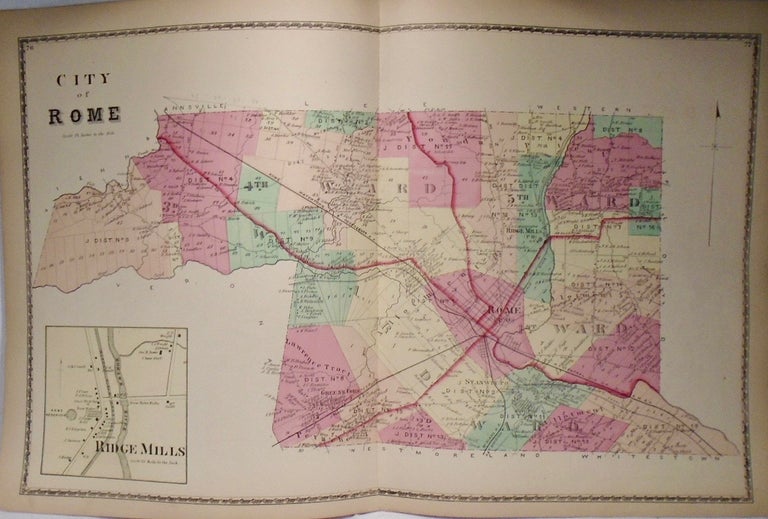
26. Map of Rome, New York. Philadelphia: D.G. Beers, 1874.
14.5x23.5. Beautiful, detailed and coloured map with inlet of Ridge Mills. Item #33916
14.5x23.5. Beautiful, detailed and coloured map with inlet of Ridge Mills. Item #33916
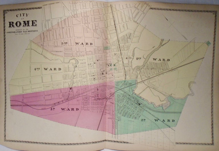
14.5x23.5. Beautiful, detailed and coloured map. Item #33917
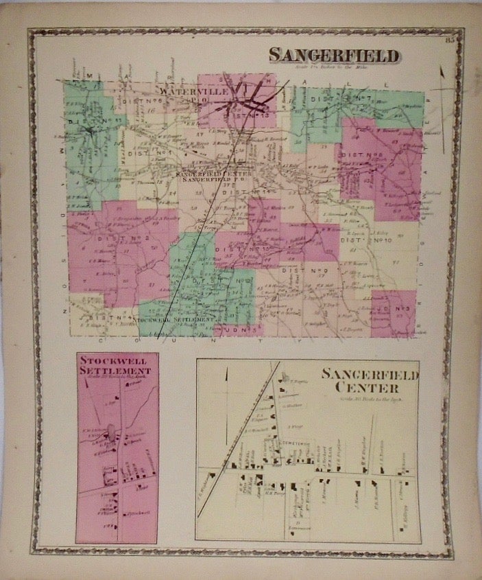
14.5x11.5. Beautiful, detailed and coloured map with close-ups of Sangerfield Center and Stockwell Settlement. Item #33918
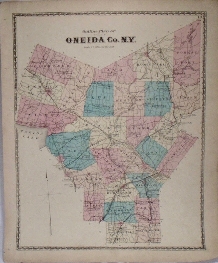
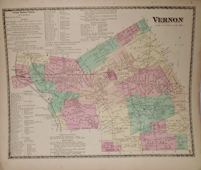
14.5x11.5. Beautiful, detailed and coloured map. Item #33912
14.5x11.5. Beautiful, detailed and coloured map. Staining to bottom. Item #33920
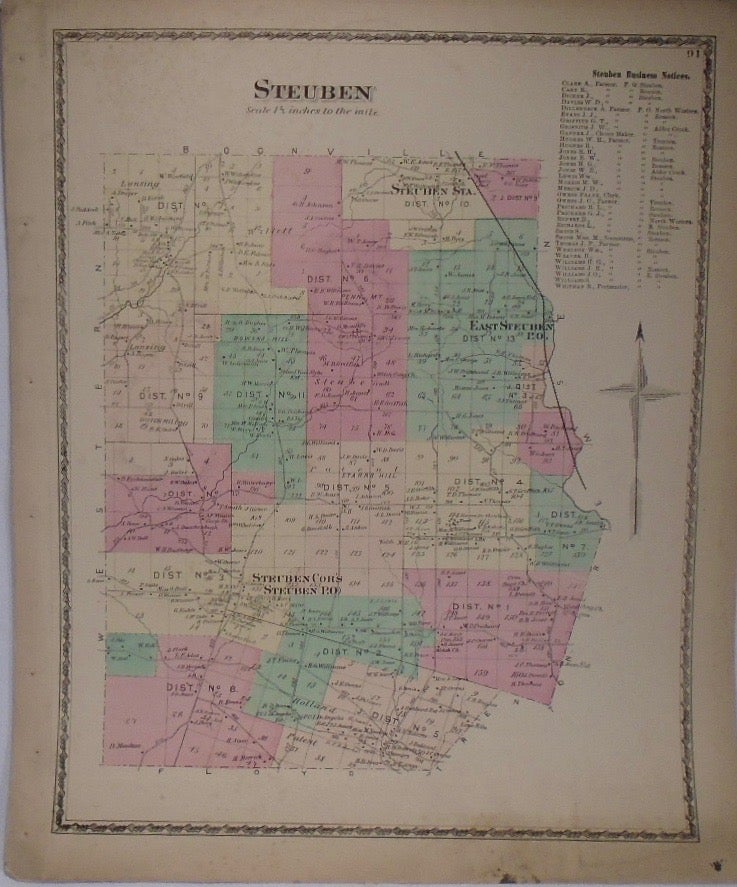
14.5x11.5. Beautiful, detailed and coloured county map. Item #33894
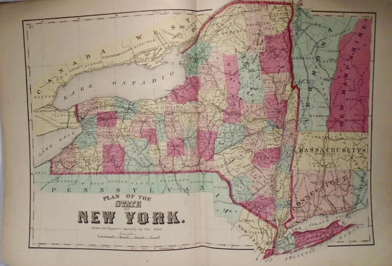
13x20.5. Beautiful, detailed and coloured state map. Item #33897
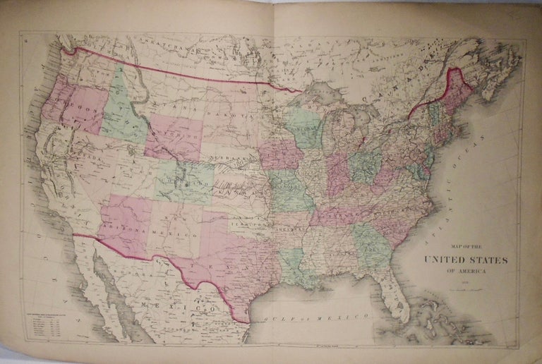
13.5x22. Beautiful, detailed and coloured map. Additionally depicts some of southern Canada. Corners folded. Item #33898
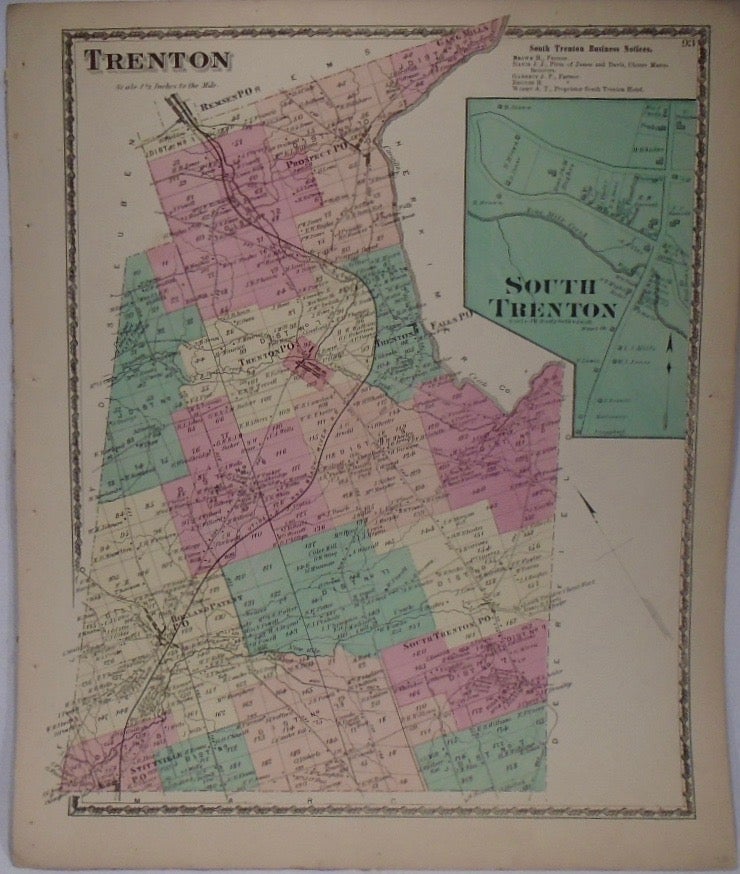
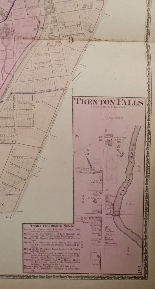
14.5x11.5. Beautiful, detailed and coloured map with close-up of South Trenton. Item #33921
11.5x14.5. Beautiful, detailed and coloured map featuring Holland Patent. Folding to top right corner. Item #33924
23.5x14.5. Beautiful, detailed and coloured map. Small rip to left side. Soiling to center fold. Item #33923
14.5x23.5. Beautiful, detailed and coloured map. Pencil marks on map that show other roads and additional, later map edits. Item #33925
14.5x23.5. Beautiful, detailed map. Pencil edits across left page of map. Item #33926
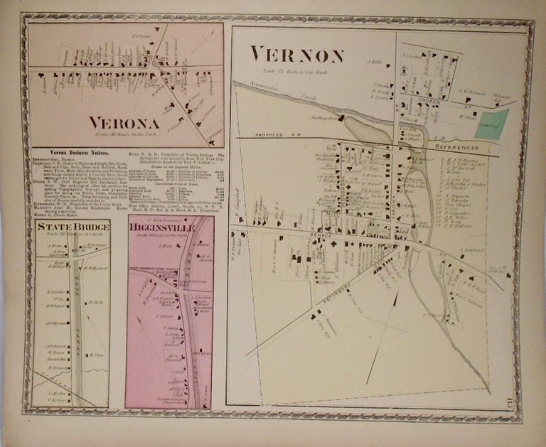
11.5x14.5. Beautiful, detailed and coloured map. Additionally features the State Bridge and Higginsville. Rip to top right corner. Item #33928
11.5x14.5. Beautiful, detailed and coloured map. Item #33927
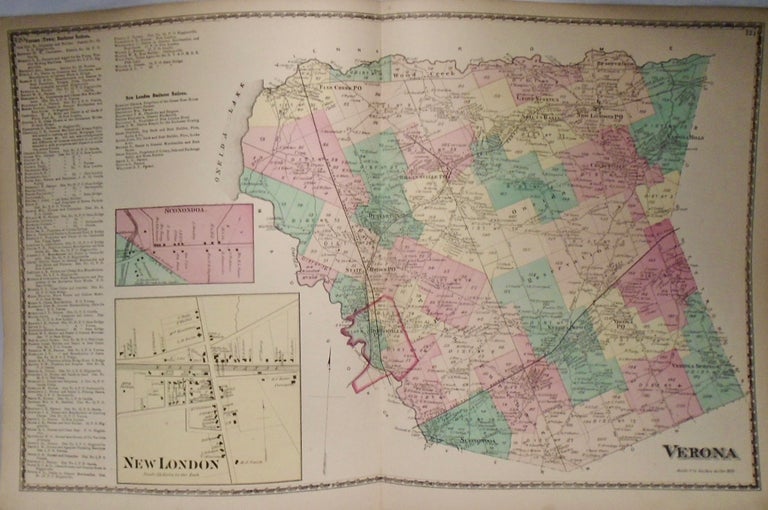
14.5x23.5. Beautiful, detailed and coloured map. Additionally features New London and Sconondoa. Item #33930
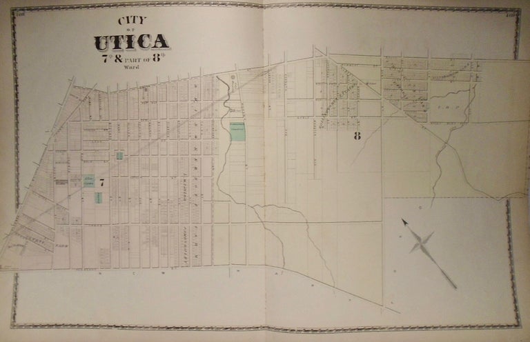
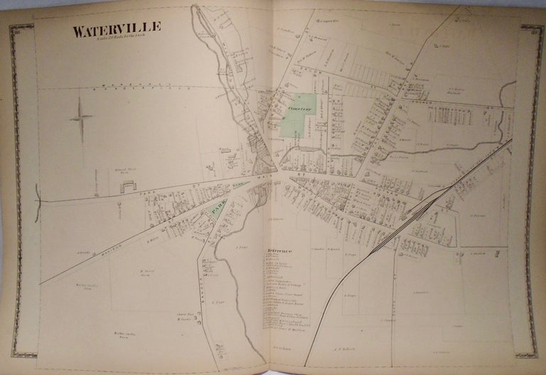
15x23.5. Beautiful, detailed map. Item #33919
14.5x11.5. Beautiful, detailed and coloured map. Lower right corner folded. Item #33932
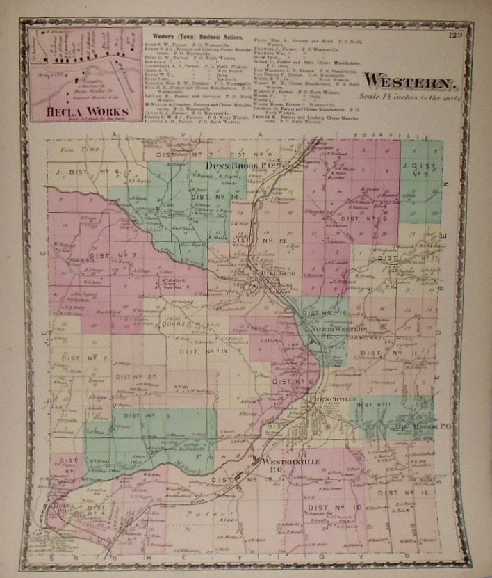
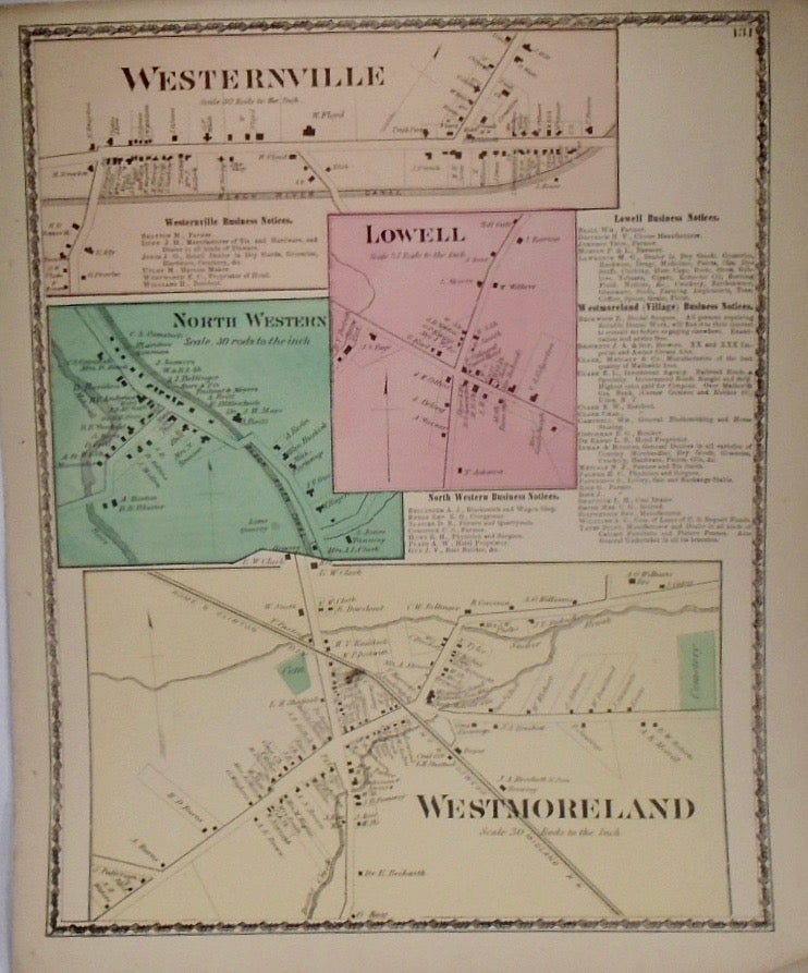
14.5x11.5. Beautiful, detailed and coloured map. Additionally features Lowell and North Western. Lower right corner folded. Rip to right side. Item #33933
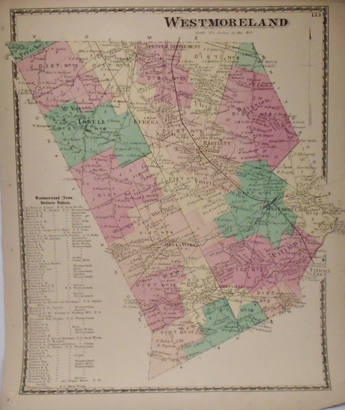
14.5x11.5. Beautiful, detailed and coloured map. Lower right corner folded. Rip to right side. Item #33934
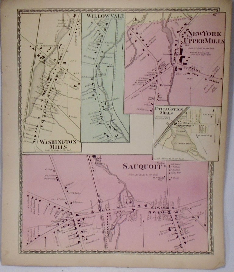
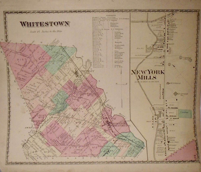
11.5x14.5. Beautiful, detailed and coloured map. Additionally features the New York Mills. Lower corners with some folding and tearing. Item #33935
First Edition. Quarto. Complete with 20 hand colored maps, several large folding maps. Including towns bordering Lake Champlain: Champlain, Chazy, beekmantown, Plattsburgh, and Peru, with a very large folding map of Plattsburgh. 2 pages of views. The binding is shabby, front cover present but detached. Maps are Very Good with some minor edge wear to some, and a short split at fold of a couple folding maps. Scare atlas. Item #41421