


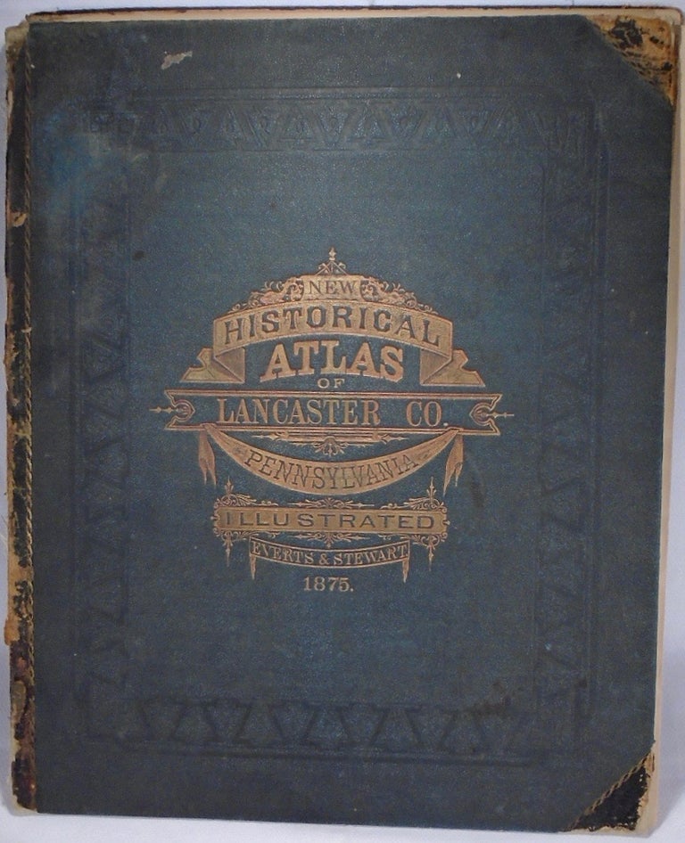
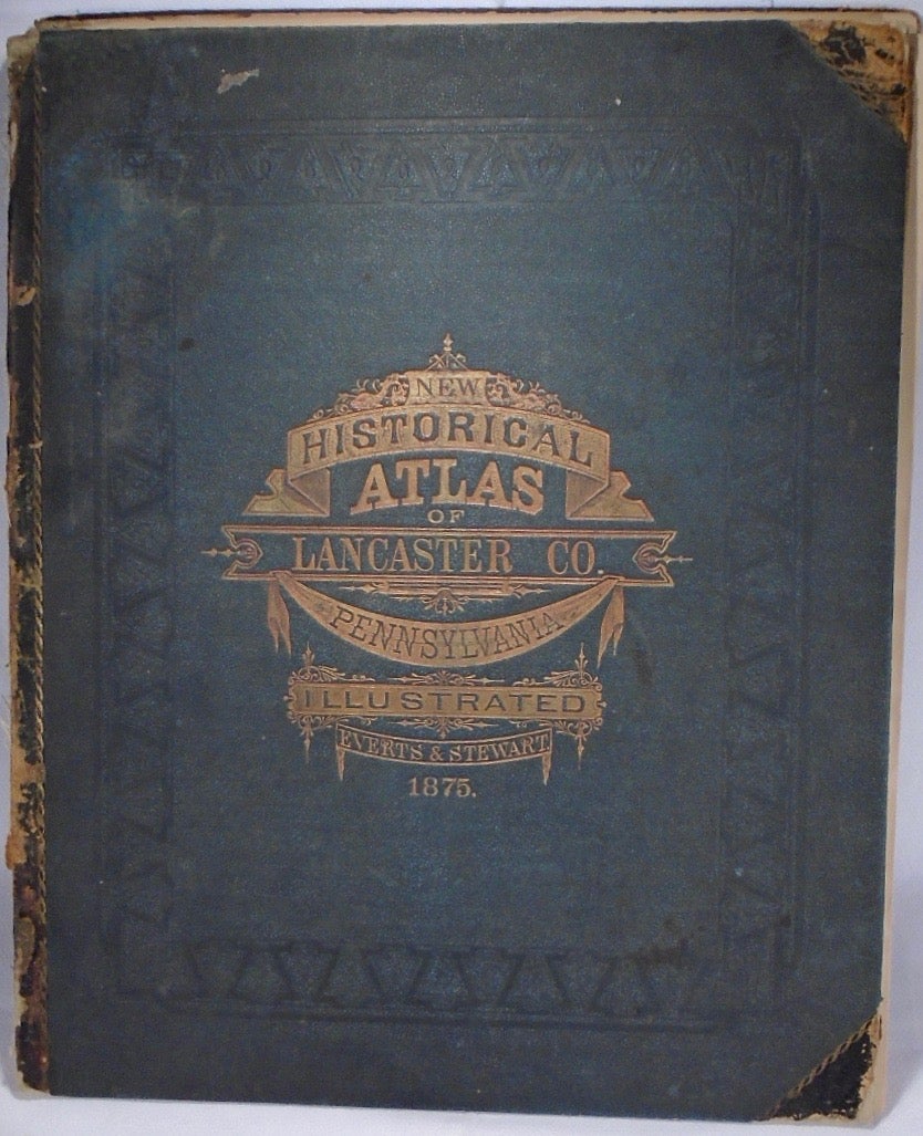
New Historical Atlas of Lancaster County, Pennsylvania. Illustrated. Philadelphia: Everts & Stewart, 1875.
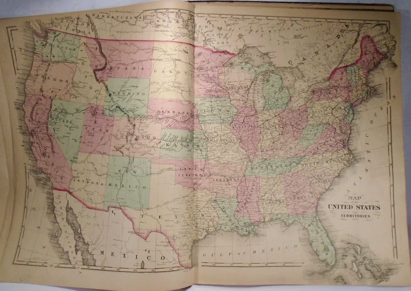
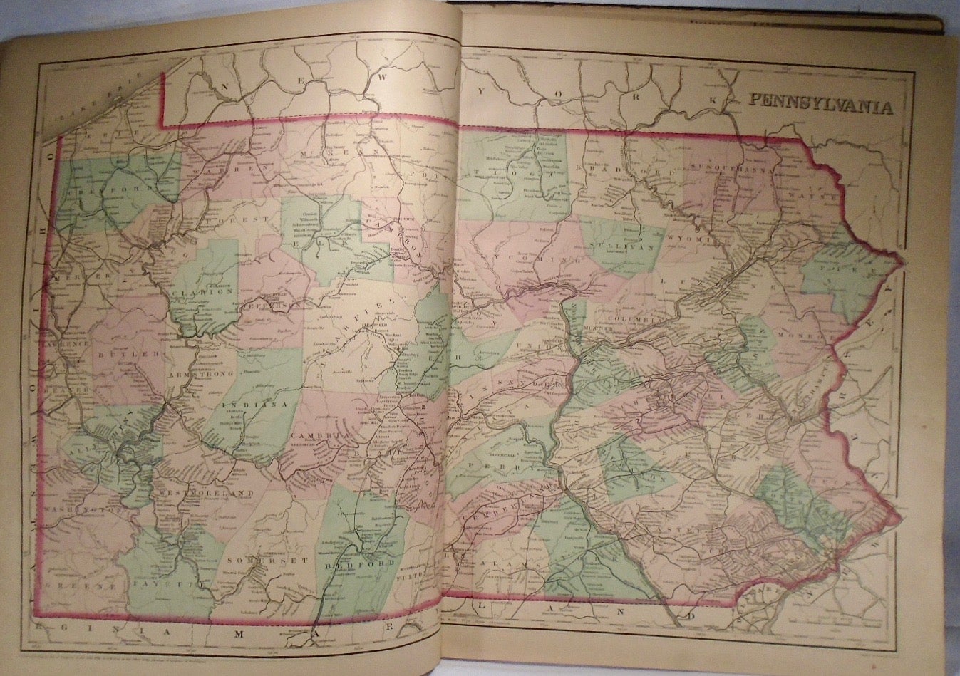
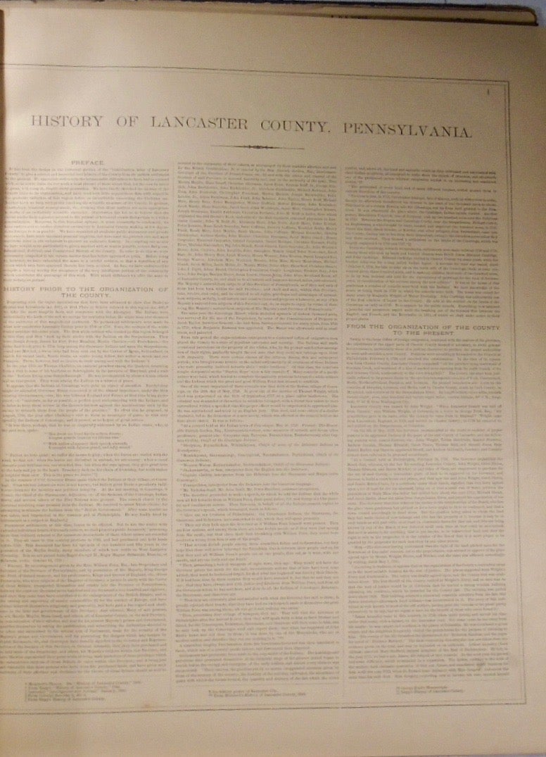
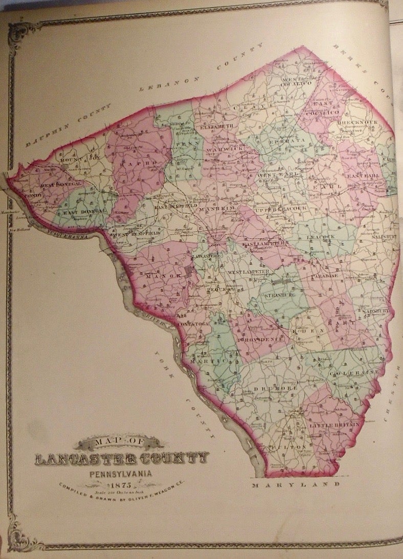
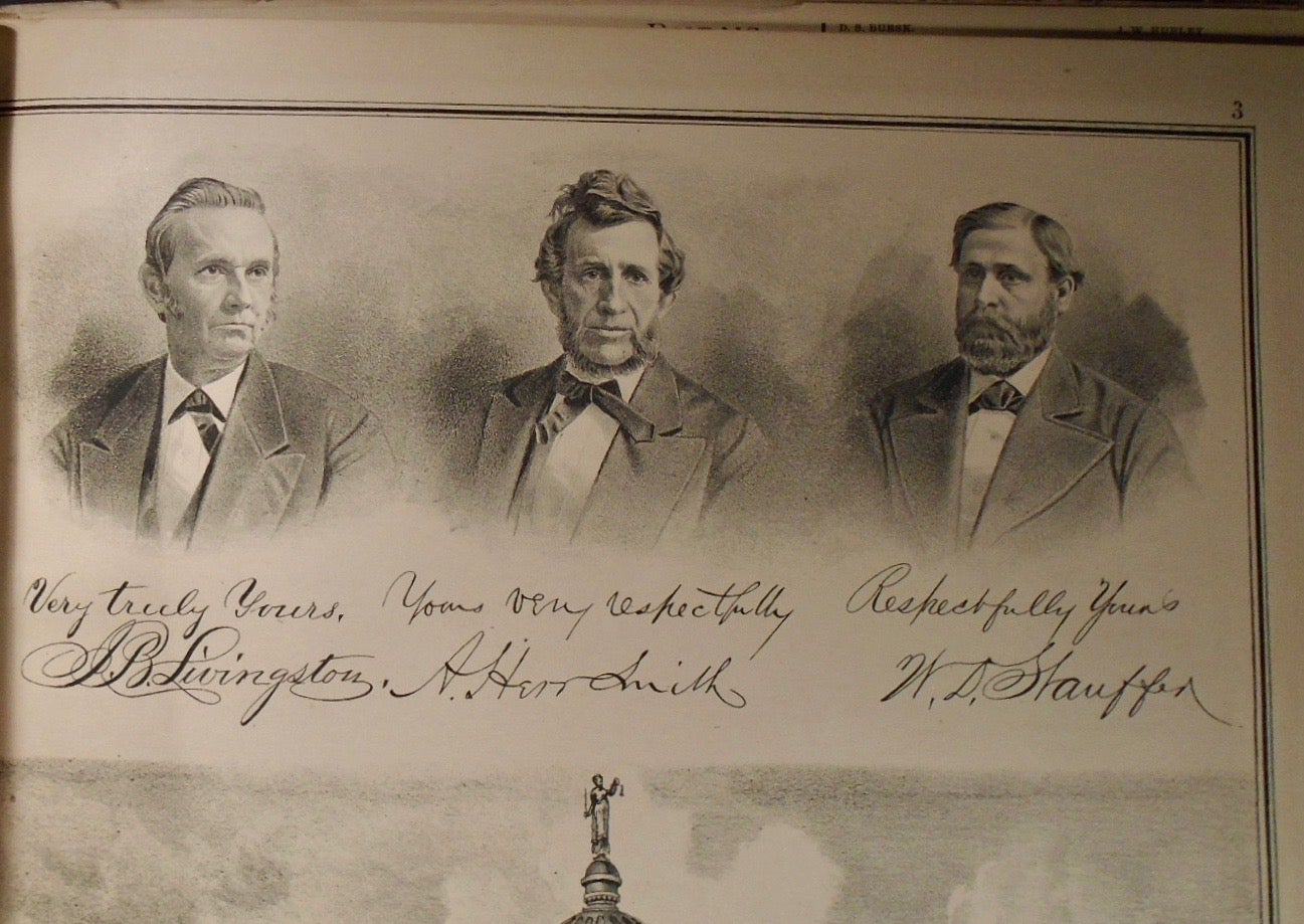
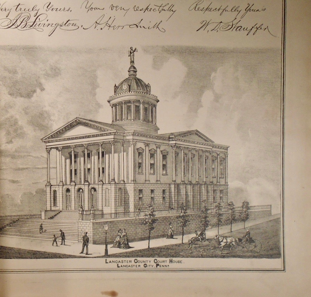
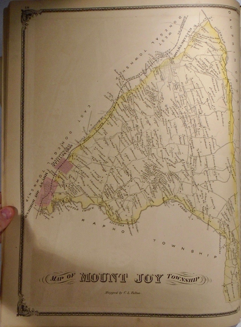
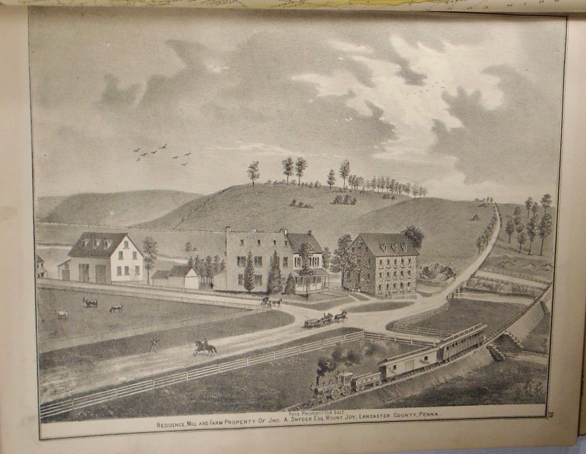
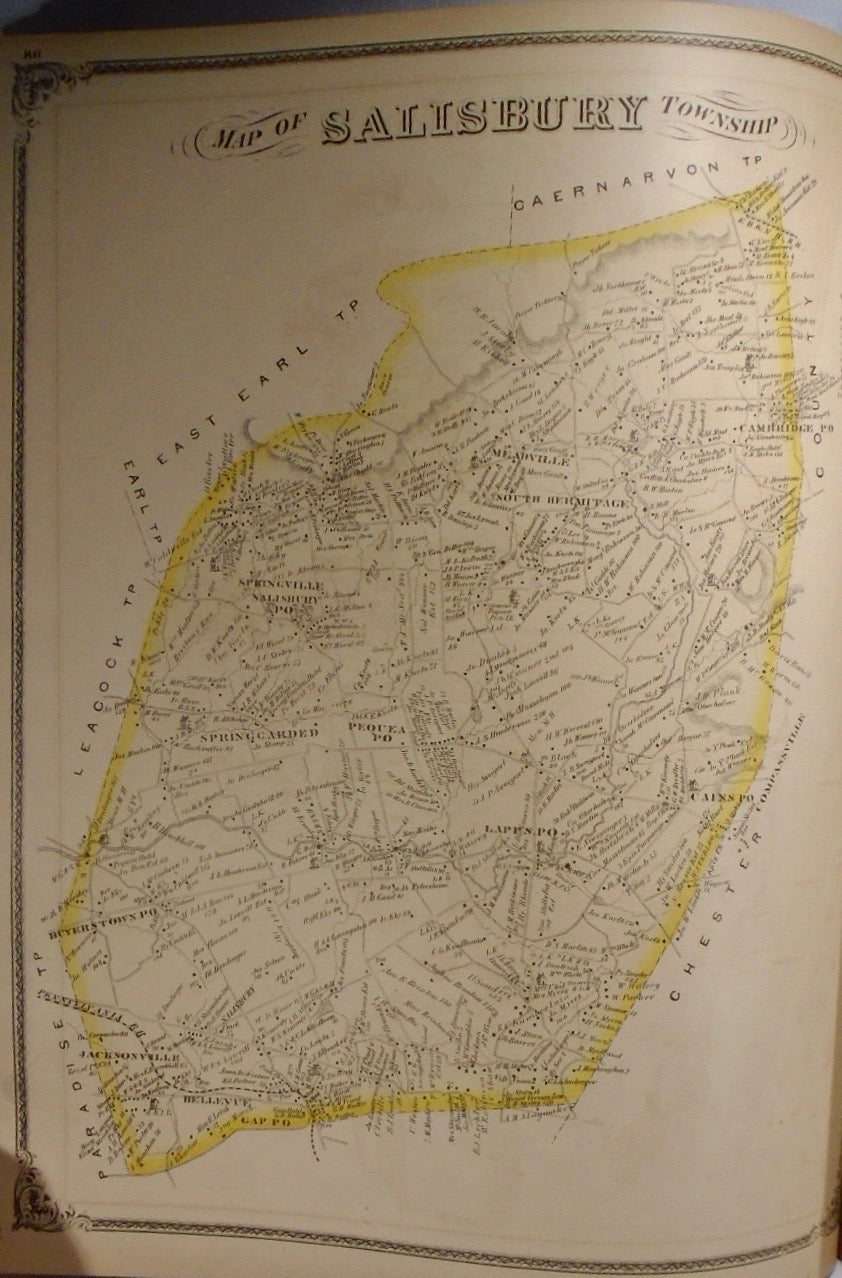
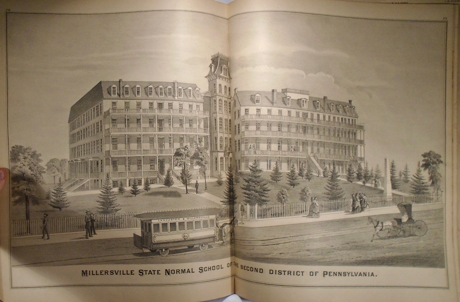
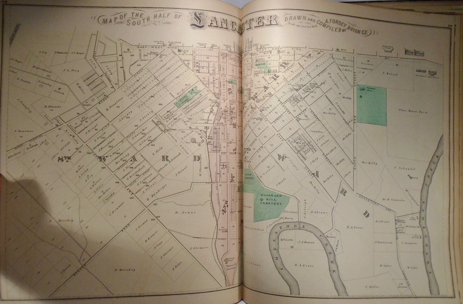
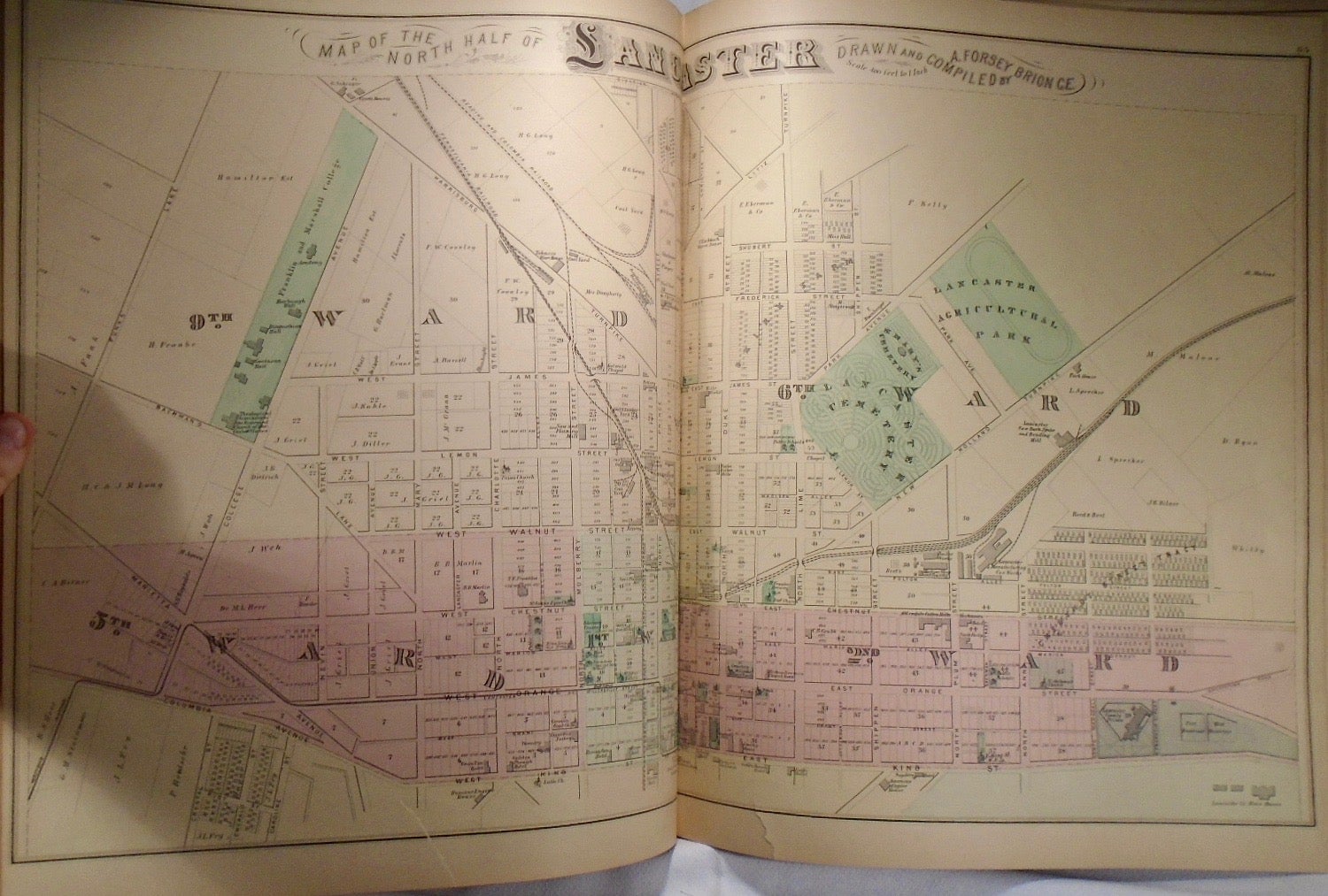
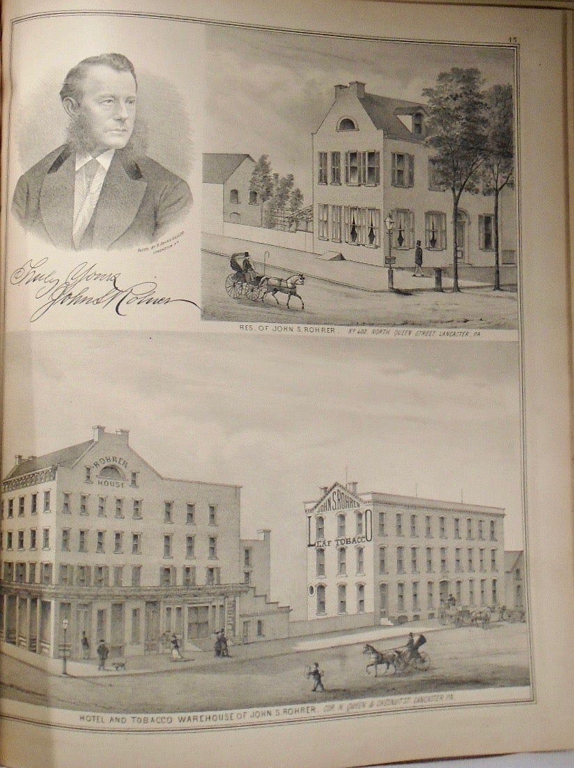
First Edition. 14.5x17. In three-quarter bound atlas with leather and dark blue fabric. Embossed bands to covers. Embossed lettering to covers. Marbled page edges. Former owner signature to front endpaper. Numerous stamps from Cletus R. Freeland to front endpapers. Includes a lengthy history on Lancaster County. Includes the following maps (in order): a full United States, the state of Pennsylvania, Lancaster County, Strasburg township, West Lampeter township, Providence township, East Lampeter township, Mount Joy township, Rapho township, Lancaster township, Manor township, Paradise township, West Cocalico township, Martic township, East Hempfield township, Conestoga township, West Hempfield, Penn township, Conoy township, West Donegal township, Clay township, Pequea township, Elizabeth township, Warwick township, East Cocalico township, Drumore township, Northern Lancaster, East Earl township, Manheim township, South Lancaster, Caernarvon township, Leacock township, Brecknock township, Fulton township, Marietta borough, Little Britain township, Columbia borough, Sadsbury township, Coleraine township, Salisbury township, Eden township, Gap, Ephrata township, Bart township, Earl township, Petersburg, Christiana, Manheim borough, Washington borough, Bainbridge, Rohrerstown, Millersville, Oharryville, Maytown, Adamstown, Litiz, Mount Joy borough, Elizabethtown borough, and Spring Garden. Each map is accompanied by numerous black and white illustration of towns, prominent leaders, historical figures, and important, historical buildings. A directory of businesses in the county is present to the rear of the atlas with various advertisements. Maps in Very Good condition. Covers Good. Covers detached, but present. Binding tight, otherwise. Damage to cover leather.
Price: $750.00