


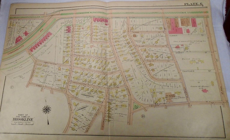
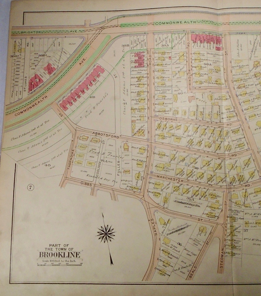
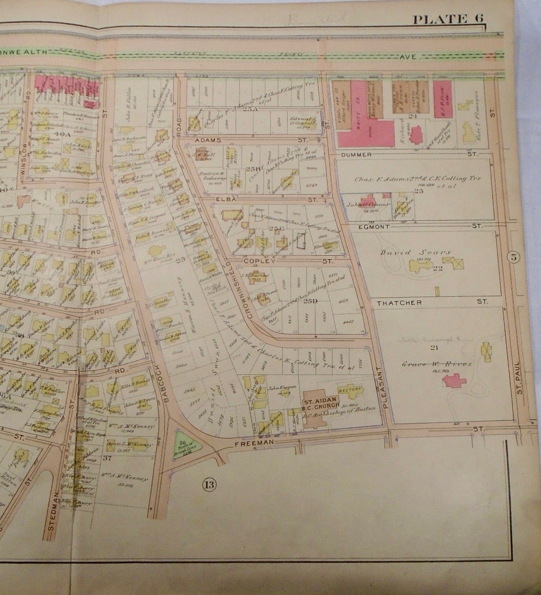
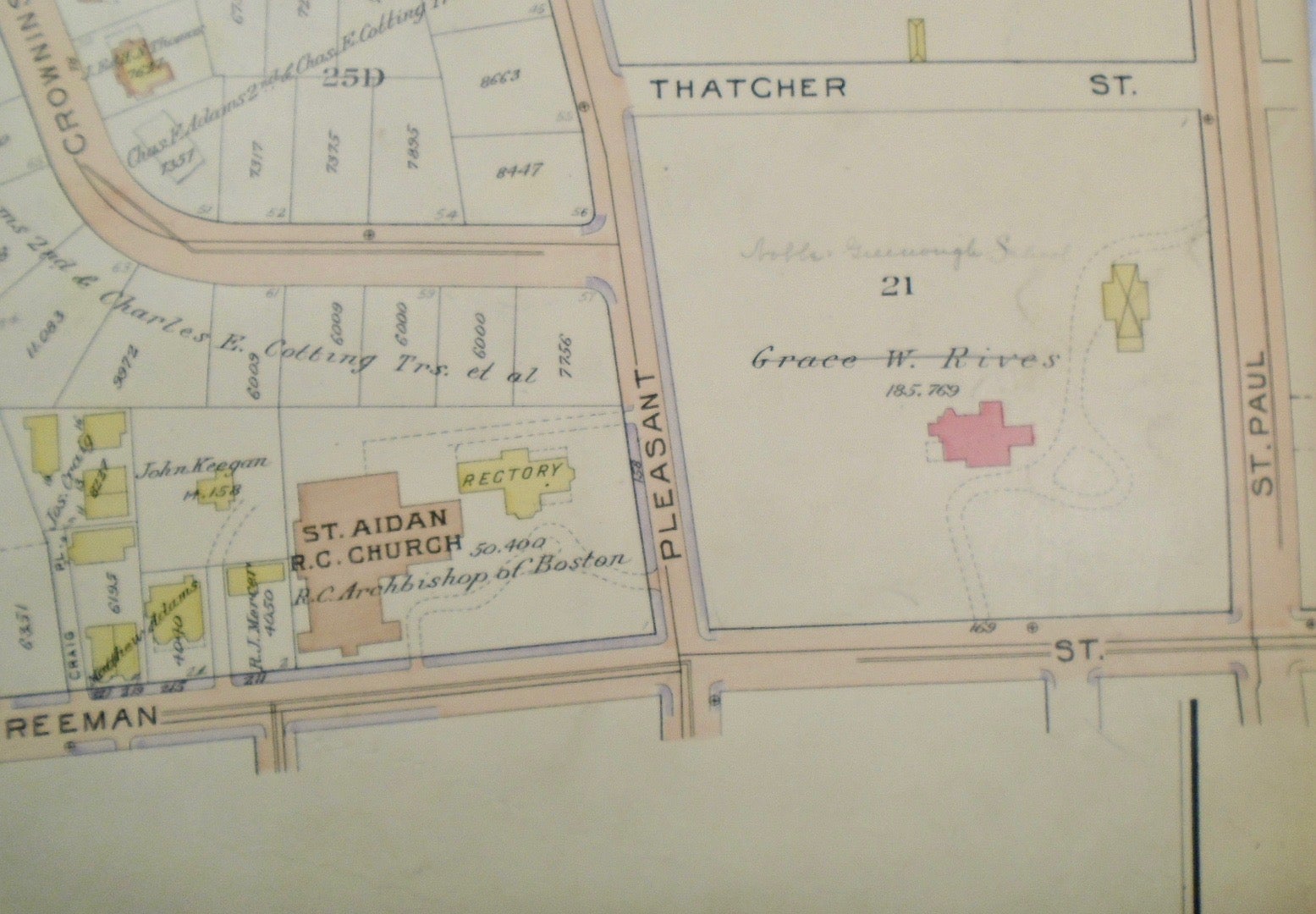
Map of Part of Brookline, Massachusetts. Philadelphia: G.W. Bromley & Co., 1913.
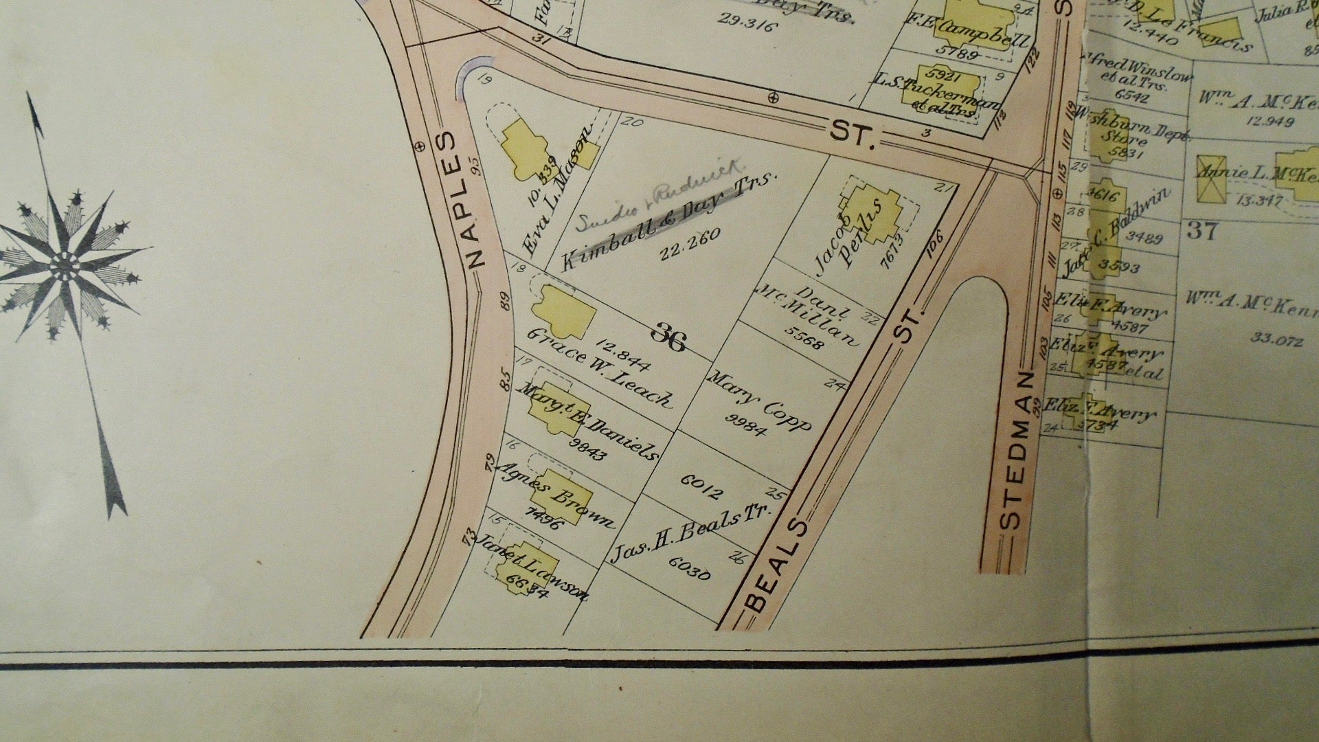
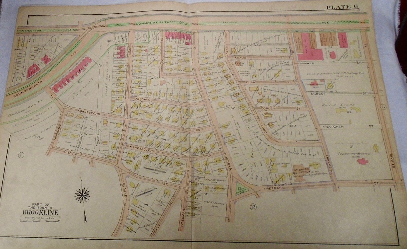
32.5x33. A partial, coloured and highly detailed map of Brookline with Brighton and Commonwealth Avenues to the North, St. Paul Street to the East, Freeman and Gibbs Streets to the South, and St Lukes and Commonwealth Avenue to the West. Some pencil marks are present on the map.
Price: $100.00
See all items in
map
See all items by G. W. BROMLEY