


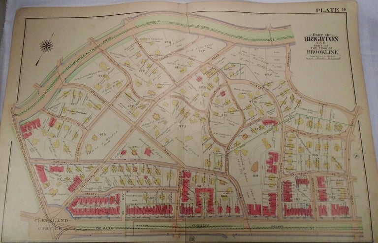
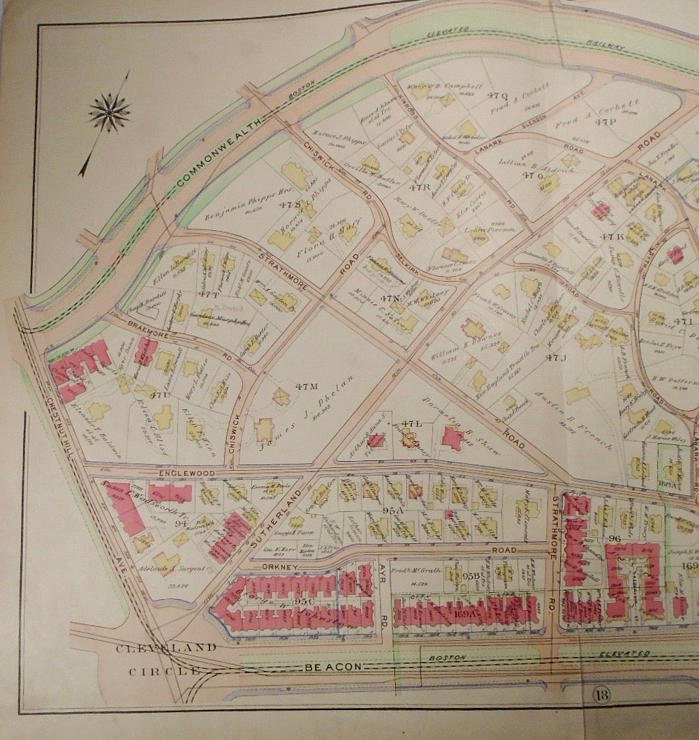
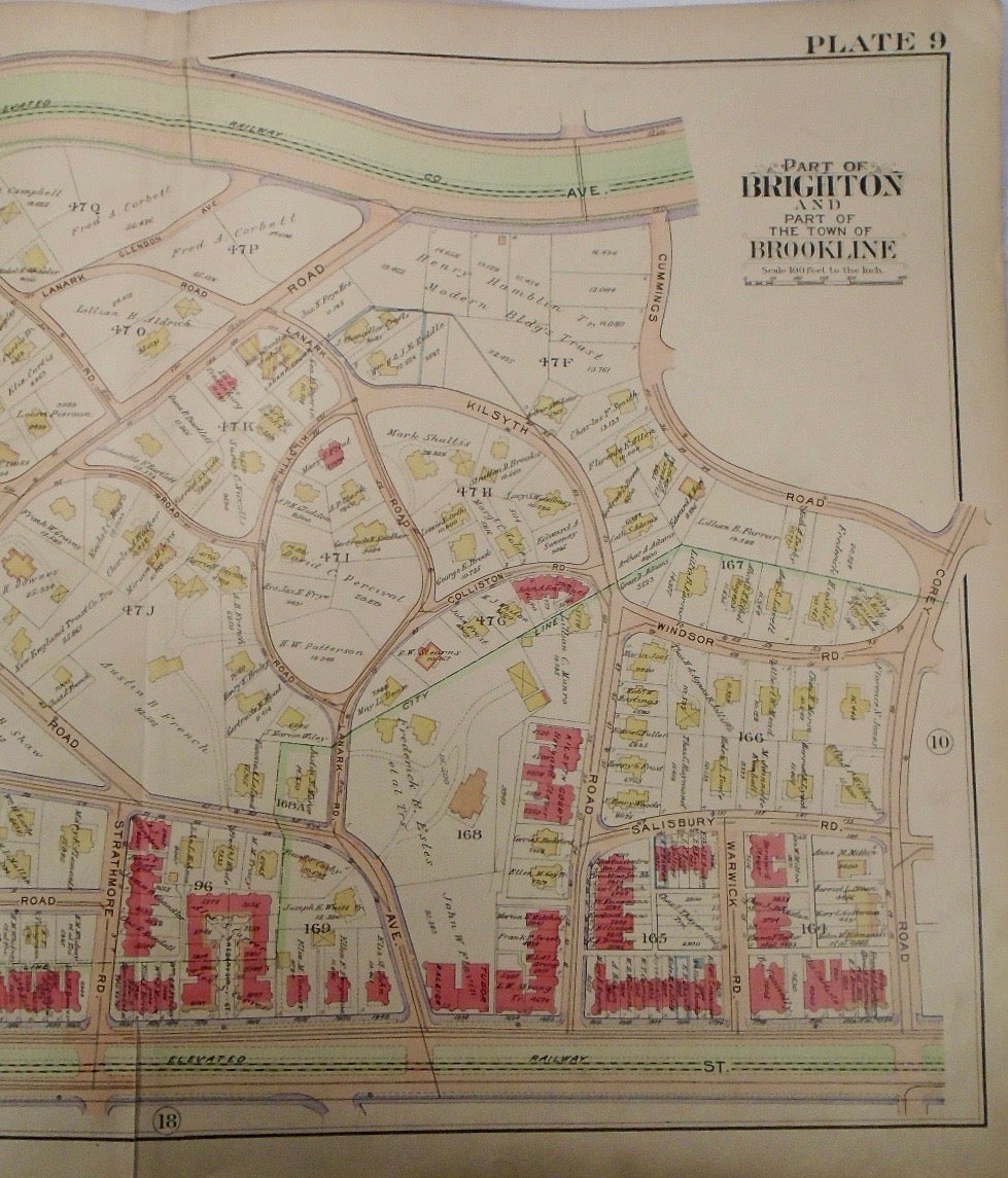
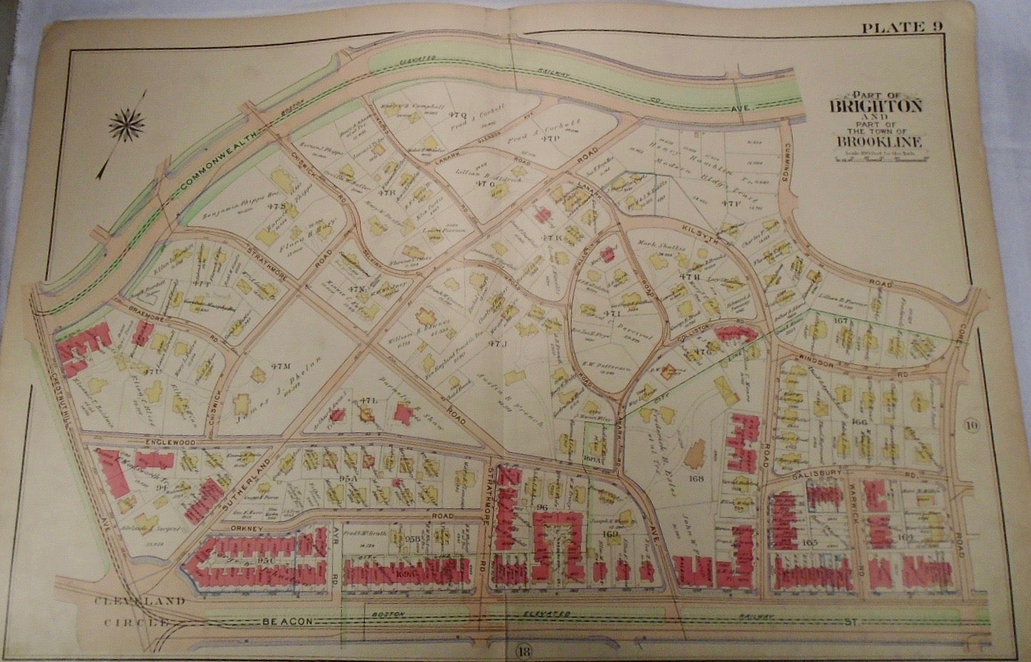
Map of Part of Brookline and Brighton, Massachusetts. Philadelphia: G.W. Bromley & Co., 1913.
32.5x33. A partial, coloured and highly detailed map of Brookline and Brighton with Commonwealth Avenue and railway to the North, Corey Road to the East, Beacon Street and railway to the South, and Chestnut Hill/Cleveland Circle to the West.
Price: $100.00
See all items in
map
See all items by G. W. BROMLEY