


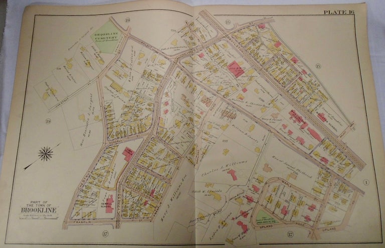
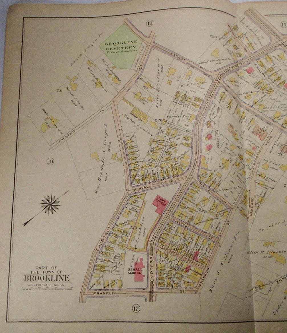
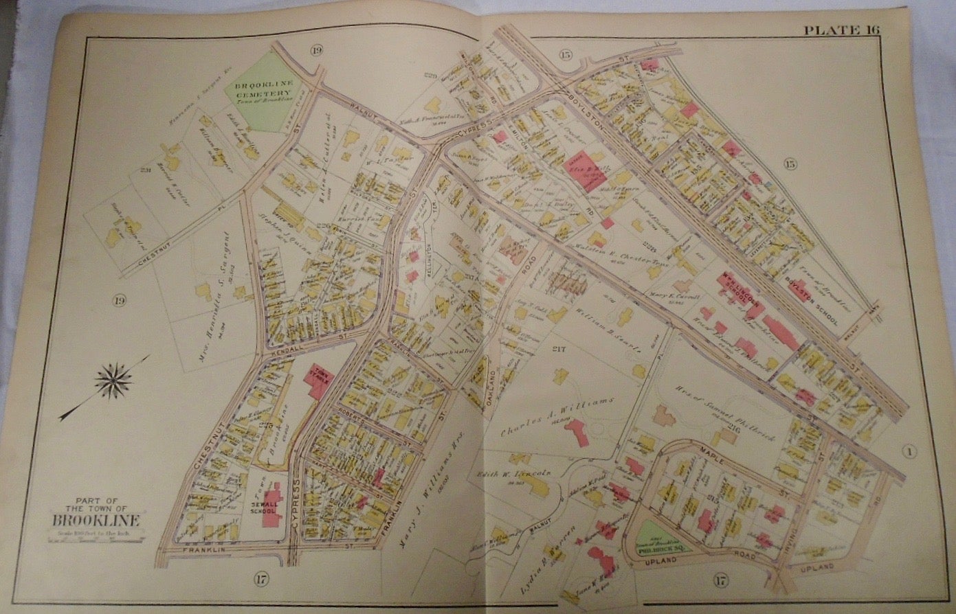
Map of Part of Brookline, Massachusetts. Philadelphia: G.W. Bromley & Co., 1913.
32.5x33. A partial, coloured and highly detailed map of Brookline with the intersection of Cypress and Boylston Streets to the North, Irving Street to the East, Franklin Street and Upland Road to the South, and Chestnut Street and Place to the South. Some fingerprints are present on the map but are very minor.
Price: $100.00
See all items in
map
See all items by G. W. BROMLEY