


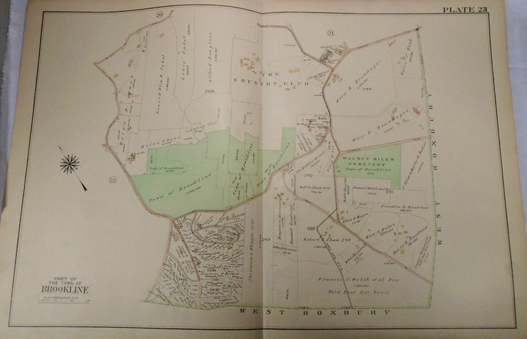
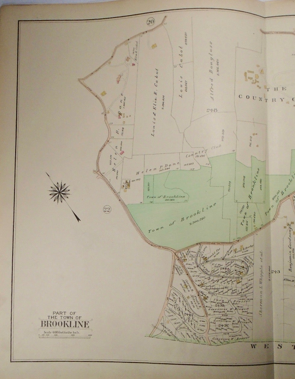
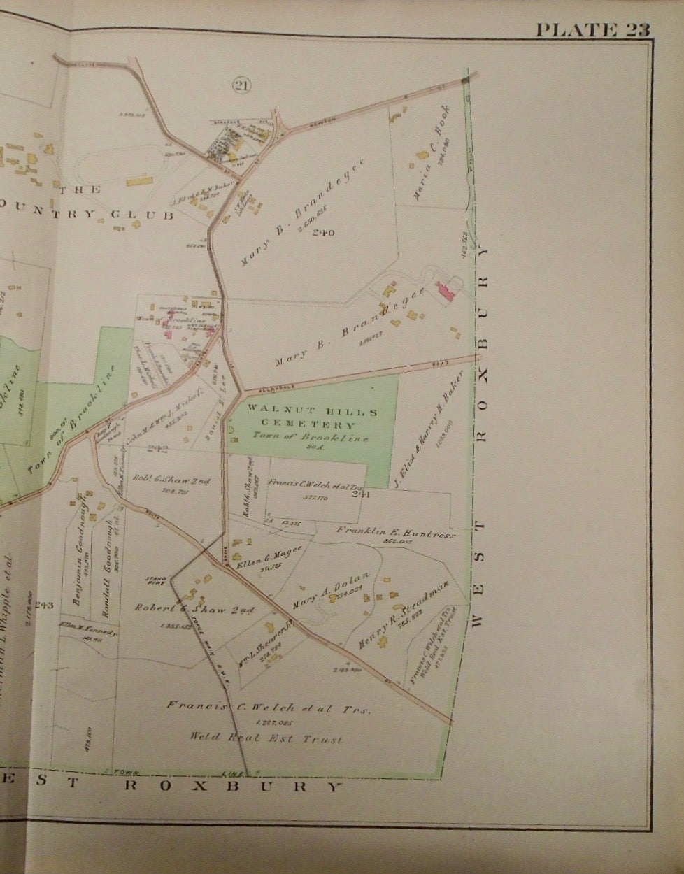
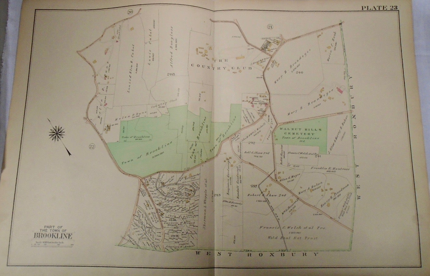
Map of Part of Brookline, Massachusetts. Philadelphia: G.W. Bromley & Co., 1913.
32.5x33. A partial, coloured and highly detailed map of Brookline with Clyde, Newton, and Heath Streets to the North, West Roxbury to the East and South, and the intersection of Woodland Road and Hammond Street to the West.
Price: $100.00
See all items in
map
See all items by G. W. BROMLEY