


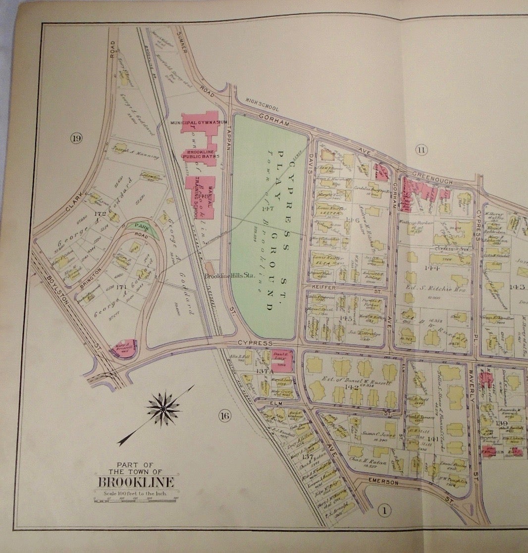
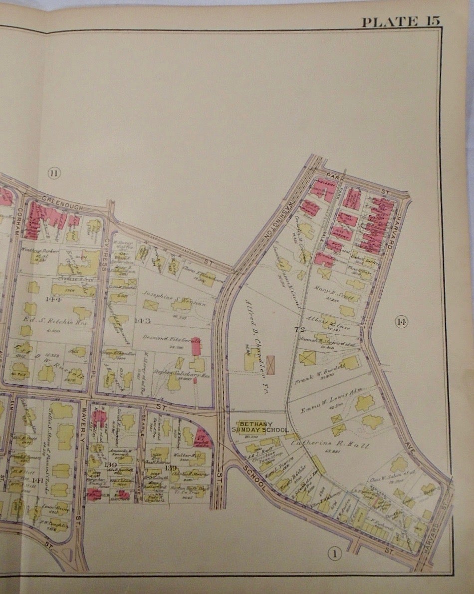
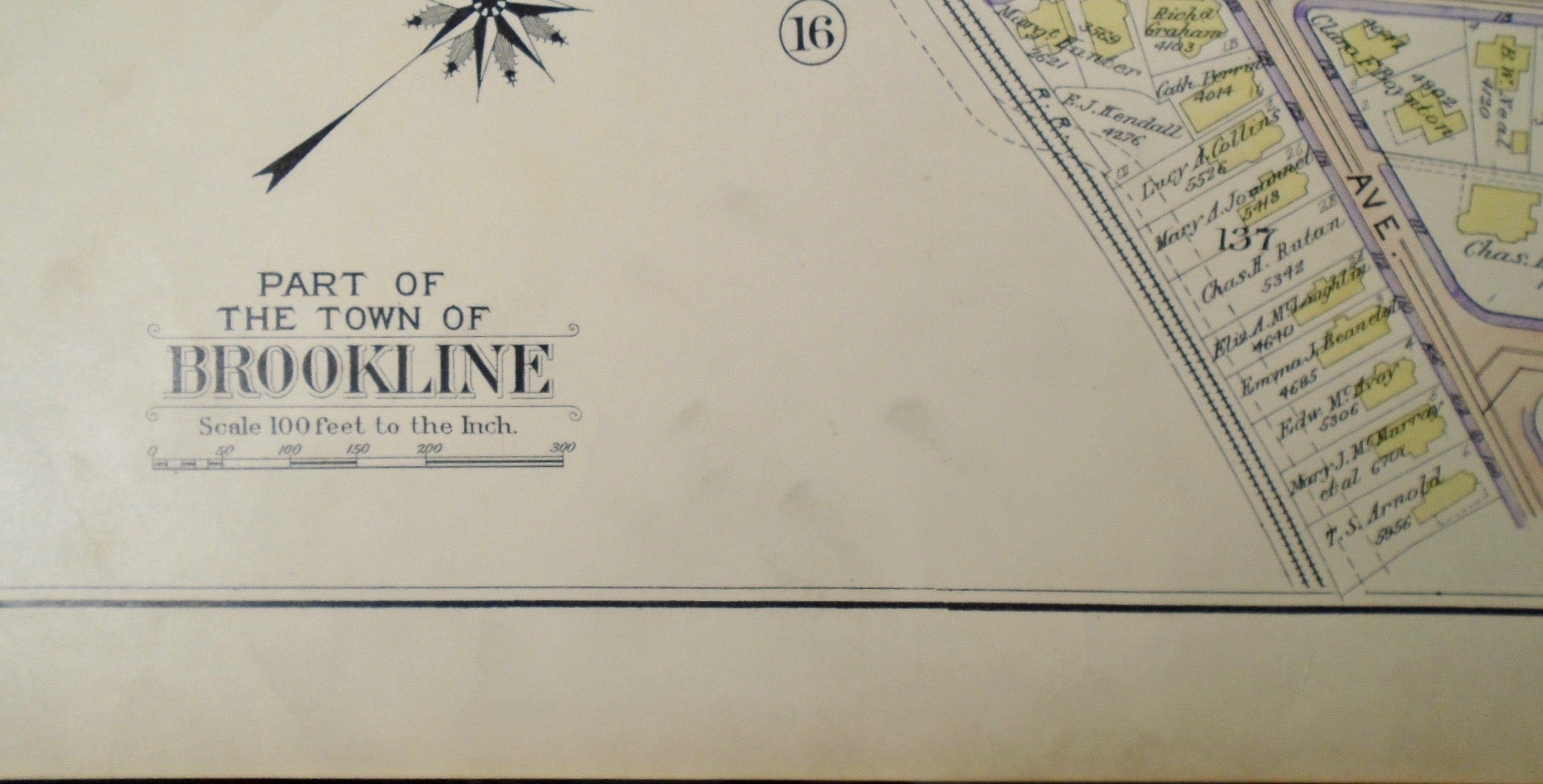
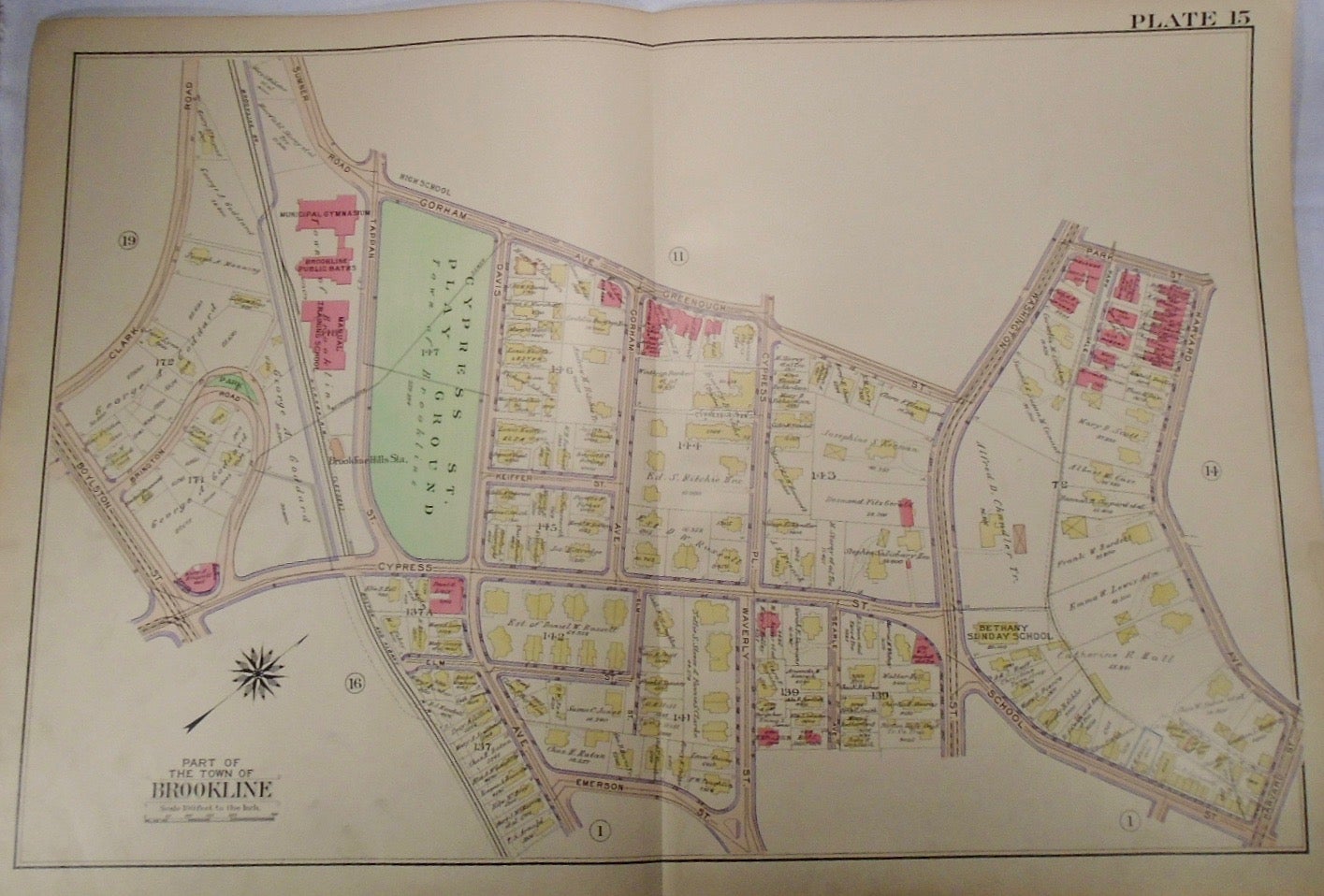
Map of Part of Brookline, Massachusetts. Philadelphia: G.W. Bromley & Co., 1913.
32.5x33. A partial, coloured and highly detailed map of Brookline with Gorham Avenue to the North, Harvard Avenue to the East, Emerson Street to the South, and the Boylston Street/Clark Road intersection to the West.
Price: $100.00
See all items in
map
See all items by G. W. BROMLEY