


![Item #34839 Plan of Chestnut Hill in Brookline and Newton [WALL MAP]. Herbert SHEDD.](https://yesterdaysgallery.cdn.bibliopolis.com/pictures/34839.jpg?width=768&height=1000&fit=bounds&auto=webp&v=1551126177)
![Plan of Chestnut Hill in Brookline and Newton [WALL MAP]](https://yesterdaysgallery.cdn.bibliopolis.com/pictures/34839_2.jpg?auto=webp&v=1551126177)
![Plan of Chestnut Hill in Brookline and Newton [WALL MAP]](https://yesterdaysgallery.cdn.bibliopolis.com/pictures/34839_3.jpg?auto=webp&v=1551126177)
![Plan of Chestnut Hill in Brookline and Newton [WALL MAP]](https://yesterdaysgallery.cdn.bibliopolis.com/pictures/34839_4.jpg?auto=webp&v=1551126177)
![Plan of Chestnut Hill in Brookline and Newton [WALL MAP]](https://yesterdaysgallery.cdn.bibliopolis.com/pictures/34839_5.jpg?auto=webp&v=1551126177)
![Plan of Chestnut Hill in Brookline and Newton [WALL MAP]](https://yesterdaysgallery.cdn.bibliopolis.com/pictures/34839_6.jpg?auto=webp&v=1551126177)
![Plan of Chestnut Hill in Brookline and Newton [WALL MAP]](https://yesterdaysgallery.cdn.bibliopolis.com/pictures/34839_7.jpg?auto=webp&v=1551126177)
![Plan of Chestnut Hill in Brookline and Newton [WALL MAP]](https://yesterdaysgallery.cdn.bibliopolis.com/pictures/34839_8.jpg?auto=webp&v=1551126177)
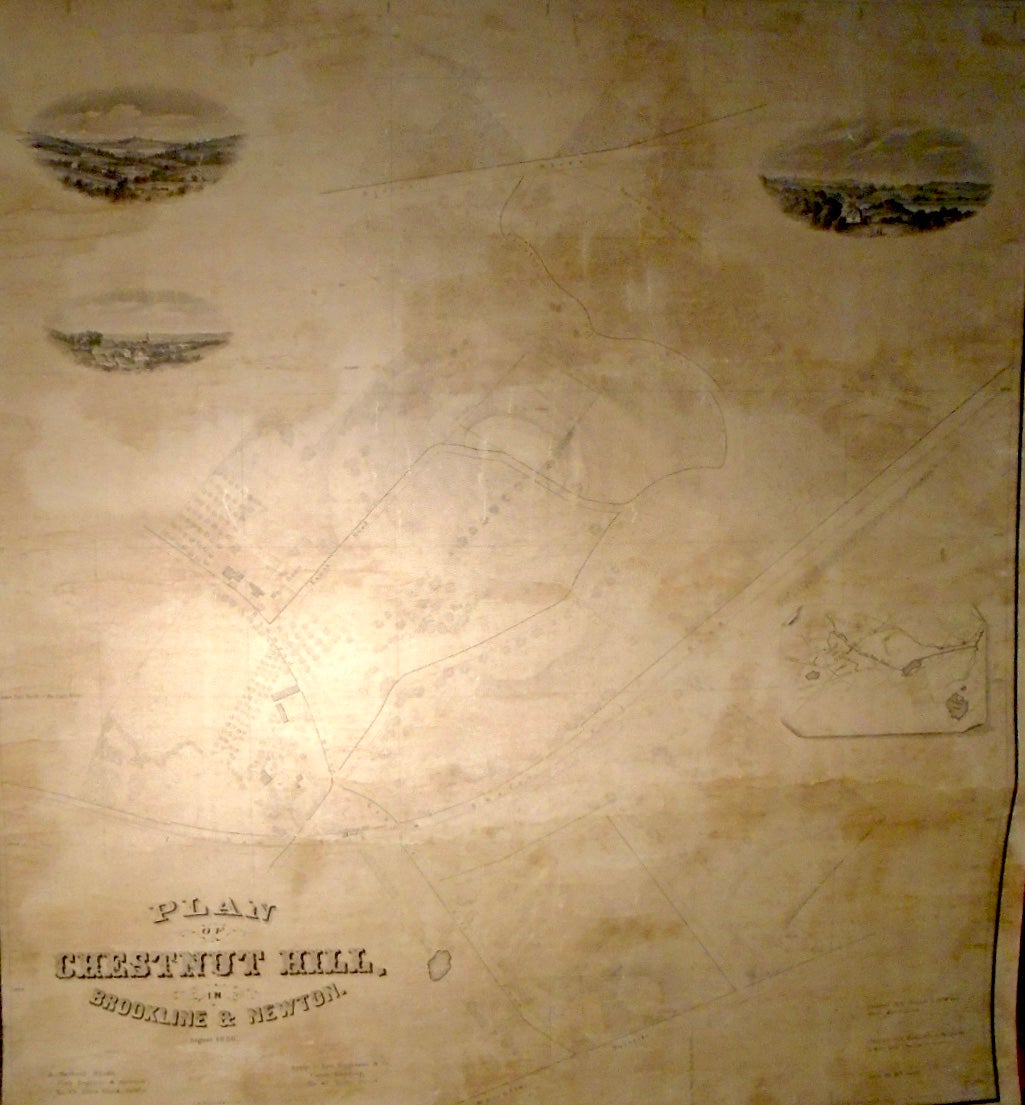
Plan of Chestnut Hill in Brookline and Newton [WALL MAP]. [Boston]: Herbert Shedd, 1856.
Original wall map, 28 by 30 1/2 inches. Very scarce black and white wall map of Chestnut Hill, no references found. Unlike most Massachusetts villages, Chestnut Hill encompasses parts of three separate municipalities, each located in a different county: the town of Brookline in Norfolk County; the city of Boston in Suffolk County (parts of its neighborhoods of Brighton and West Roxbury), and the city of Newton in Middlesex County. Professionally restored. Very Good.
Price: $3,500.00
See all items in
Maps
See all items by Herbert SHEDD