


1. Alaska Steamship Company. Map of Alaska. 'The Alaska Line'. Chicago: Poole Bros. 1917.
22.5 x 31.5 in (57.15 x 80.01 cm). Very Good. Item #601512

22.5 x 31.5 in (57.15 x 80.01 cm). Very Good. Item #601512
24.5 x 16.5 inches. Shows locations of ski trails, types of trails and lifts and other winter sports including the Dog Sled Race schedule. Very Good. Item #601526

36 by 12 inches. Two sided map showing several WWI European fronts; folds into cover. Scarce. Very Good. Item #601494

24in x 18in. An uncommon map depicting what we assume is various airborne companies of Allied armies and their missions during the European campaigns of World War Two. Very Good. Item #601527

39 by 27 inches. Near Fine. Bright hand-colored map. Minor soiling to lower right-hand corner. Partially detached from top roller. Item #32448
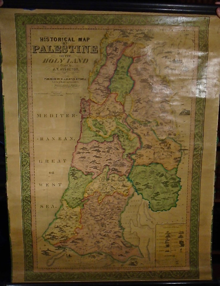
23 1/2 by 24 1/2 inches. Original bird's eye view by Framingham map maker. Landmarks include Providence and Worcester Depot, Hamilton Meat Market, Hebrew Barber, etc. Very uncommon. Very Good condition, unrestored. Item #35698
![Item #35698 Uxbridge Massachusetts [Birds Eye View]. E. H. BIGELOW](https://yesterdaysgallery.cdn.bibliopolis.com/pictures/35698.jpg?width=768&height=1000&fit=bounds&auto=webp&v=1571359682)
20.75 x 27.75 in (52.705 x 70.485 cm). Signed by artist at lower edge. This black and white version preceded the color version by one year. Very Good. Item #601507

18.25 x 24.25 in (46.355 x 61.595 cm). Signed by artist at lower edge. Very Good, pin holes at corners. Item #601516

38 by 90 cm. Signed by artist at lower edge. Uncolored version. Very Good. Item #601510

38 by 90 cm. Signed by artist at lower edge. Uncolored version. Mounted on black cardboard. Very Good, some foxing. Item #601514

38 by 90 cm. Signed by artist at lower edge. Uncolored version. Mounted on black cardboard. Very Good, some foxing. Item #601515

Original wall map, 48 by 60 1/2 inches. No date, but circa 1920. Good, minor water damage, three inch split top middle. Item #35575
![Item #35575 Cram's Street Map of the Boston Area [Wall Map]. George F. CRAM](https://yesterdaysgallery.cdn.bibliopolis.com/pictures/35575.jpg?width=768&height=1000&fit=bounds&auto=webp&v=1571359682)
Original wall map, 34 1/2 by 24 1/2 inches. Professionally restored. Very Good. Item #34835
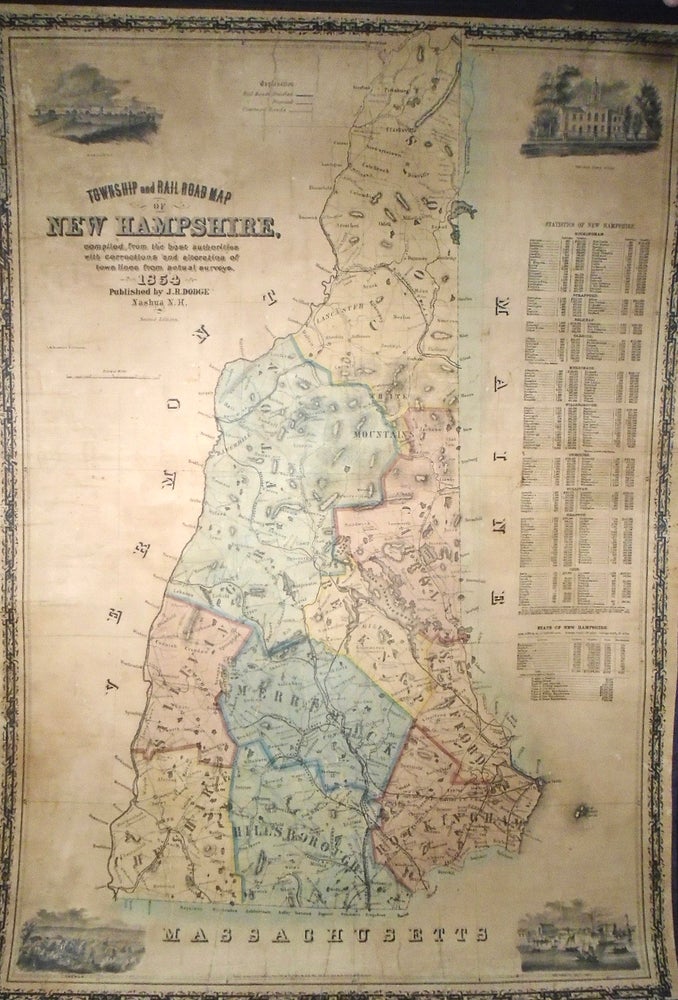
Original wall map. 17 by 21 1/2 inches. Professionally restored, Very Good condition, some cracking apparent. Item #34840
![Item #34840 Map of Massachusetts, Connecticut and Rhode Island [WALL MAP]. Anthony FINLEY](https://yesterdaysgallery.cdn.bibliopolis.com/pictures/34840.jpg?width=768&height=1000&fit=bounds&auto=webp&v=1551126177)
20" x 24". Map includes St. Louis as the Fur Trade Capitol of the West. Very Good. Item #601519
![Item #601519 Indian Tribes and Trapper Trails [ Map Pictorial ]. James F. GARDINER, R. W. Rogers](https://yesterdaysgallery.cdn.bibliopolis.com/pictures/601519.jpg?width=768&height=1000&fit=bounds&auto=webp&v=1753023144)
Original wall map, 25 1/2 by 21 inches. No date but circa 1890. Very scarce. Professionally restored. Very Good. Item #34834
![Item #34834 Map of the Cities of New York, Brooklyn, Long Island City [WALL MAP]. Geographic...](https://yesterdaysgallery.cdn.bibliopolis.com/pictures/34834.jpg?width=768&height=1000&fit=bounds&auto=webp&v=1551126177)
Scarce map. 'The subway and elevated systems of greater New York in distinctive colours'. Very Good. Item #601504

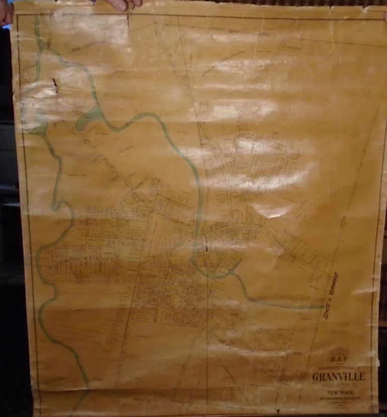
41.5 by 36.75 inches. Drawn, Lithographed and mounted at Bridgman’s Map Establishment. Very Good. Four inch closed tear upper left corner; top roller detached but present; bottom roller 1/3 detached but present. Very small hole upper left corner. Lightly frayed on edges, not affecting the image. Shows two rivers; borders the state of Vermont. Item #32446
66 by 45 inches. Uncommon map of Indian. In used condition, with chips and wear. Item #35700
![Item #35700 Irrigation Department Punjab, General Map [WALL MAP] [INDIA]. INDIA INTEREST](https://yesterdaysgallery.cdn.bibliopolis.com/pictures/35700.jpg?width=768&height=1000&fit=bounds&auto=webp&v=1571359682)
32 by 28.5 inches. With an inset of the Ohio Railroad showing a picture of an engine. Very Good, minor stains, two closed tears at bottom, one of five inches, one of two inches. Lacking lower roller. Item #32457
Consists of three maps on one sheet: Danbury Village; Bethel; Mill Plain. Also 15 inset views of buildings. Published in circa 1854. 45.3 inches wide by 35.8 inches long (115.1 x 91.0 cm). Wall map in very good condition and very recently backed on new linen with rods by Green Dragon Bindery. Very scarce wall map. Item #27501
![Item #27501 Map of the Boroughs of Danbury and Bethell [Bethel] Fairfield County Conn. D. MCCARTHY](https://yesterdaysgallery.cdn.bibliopolis.com/pictures/27501.jpg?width=768&height=1000&fit=bounds&auto=webp&v=1533998379)
Original wall map, 48 1/2 by 39 inches. Inset map of the Treaty of 1842, also territories west of the Mississippi. Very Good, rollers partially detached, some cracking, some staining, few abrasions with minor loss. Item #35574
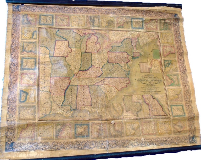
Original wall map, 64 by 64 inches. Includes new detail of Pacific Railway Surveys and 'Dakotah' shown for first time. Good overall, fading to left upper corner; staining left upper quadrant and right side, also left center bottom. Item #35570
![Item #35570 New National Map Exhibiting The United States [Wall Map]. Samuel Augustus MITCHELL](https://yesterdaysgallery.cdn.bibliopolis.com/pictures/35570.jpg?width=768&height=1000&fit=bounds&auto=webp&v=1571359632)

